The Bund in Shanghai: River Views and Historic Architecture
Contents
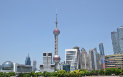
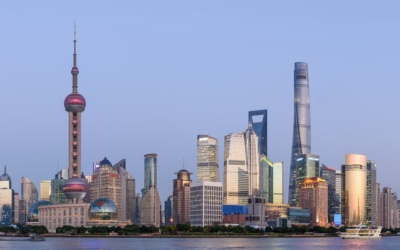
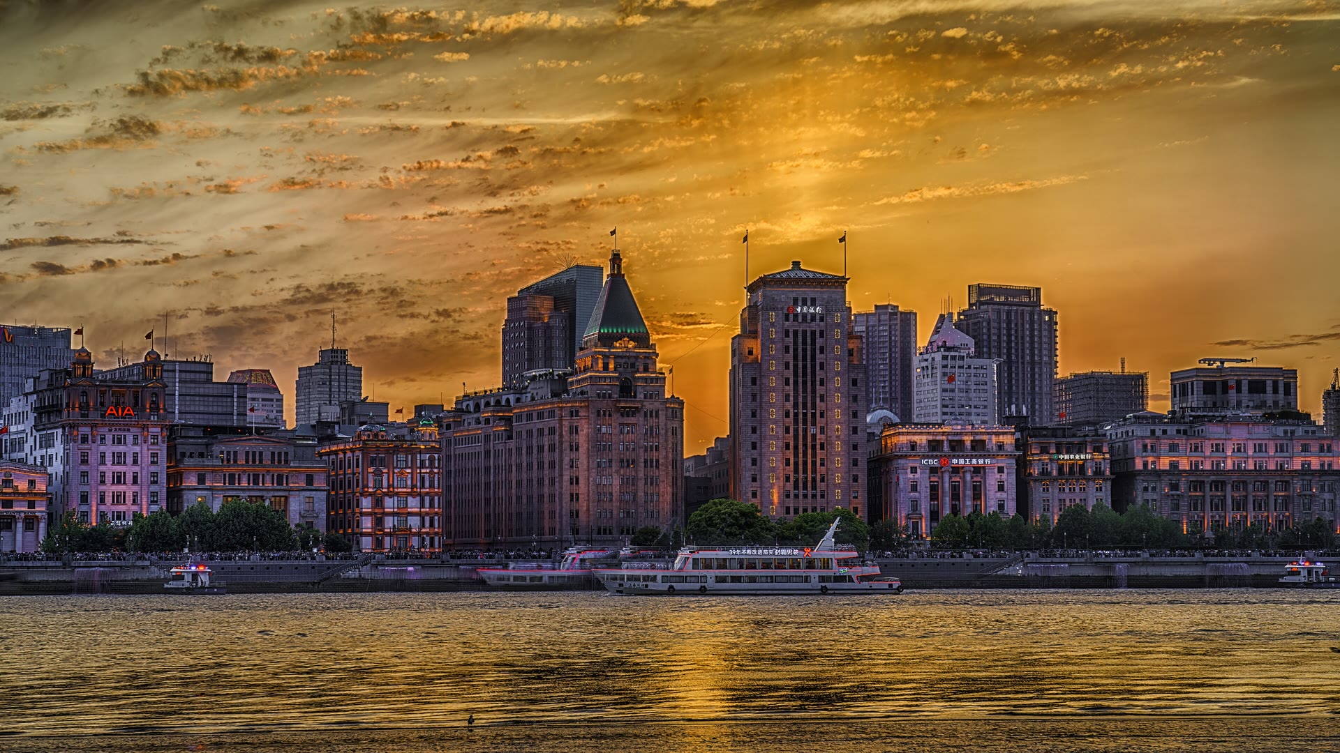
The Bund is a 1.5-kilometer waterfront and protected historic district on the Huangpu River in central Shanghai.[1] It gives you two different views in one stop: a line of historic commercial buildings on the Puxi side and the Pudong skyline across the water. The district's visitor appeal is less about entering a single attraction than choosing a riverside walk and a time of day that suits you.
A Shanghai government guide to the Bund, updated August 13, 2025 and credited to shhuangpu.gov.cn, describes 52 Gothic and Baroque-style buildings that once housed financial institutions and trading companies.[1] Use the promenade for the river view, then look back toward the city for the architecture.
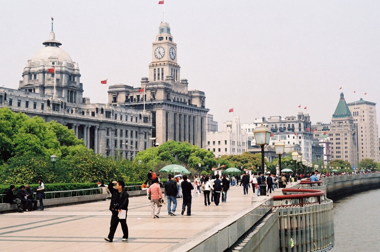
Choose a time for the view
The same dated guide describes morning exercise along the waterfront, a busy mix of local visitors and tourists during the day, and illuminated buildings in the evening.[1] That makes daylight useful for seeing architectural detail, while evening is the classic skyline choice. Lighting schedules and event conditions can change, so the 2025 description is not a promise about a particular night.
Things to Do
Offers are only loaded from GetYourGuide after you click. GetYourGuide can then process your IP address and set cookies. Privacy Policy
GetYourGuide partner offers. GoAsia may earn a commission if you book through these offers. Check whether tickets or transfers are included, and follow the attraction's official booking and admission rules.
Make the walk your own
The long riverside walkway lets you keep the visit simple: stroll a section, pause for the Pudong panorama, and turn inland to compare the historic facades. The Bund pairs naturally with Nanjing Road for a longer central-city walk. A July 31, 2026 Shanghai portal report, credited to Xinmin Evening News, identifies East Nanjing Road station as serving Metro Lines 2 and 10 and located near both the Bund and Nanjing Road.[2] Check the current metro map and station exits for your route.
Choose between a ferry crossing and a cruise
A public ferry is a short river crossing, not a narrated sightseeing loop. The Shanghai government public-transport guide, marked updated September 10, 2025 and reread October 7, 2026, lists a pedestrian fare of CNY 2 and gives the Dongjin Line between East Jinling Road Ferry Pier in Puxi and Dongchang Road Ferry Pier in Pudong.[3] It lists operating windows of 7:15 a.m. to 6:30 p.m. from Puxi and 7:15 a.m. to 6:15 p.m. from Pudong, and says the line is for pedestrians.[3] Treat these as the page's listed details, not a guarantee; the guide directs passengers to check its Shanghai Ferry account for updated hours.
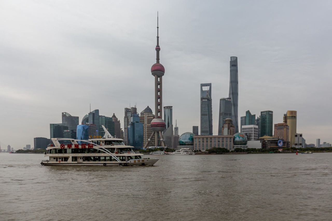
Sightseeing cruises are a different, longer product. The same guide separates cruises from regular ferry lines and points to Shiliupu piers.[3] The page-level update is September 10, 2025, so neither its ferry details nor its cruise fare listings establish current prices or operating hours. Decide whether you want a practical crossing or a dedicated river outing, then confirm the specific departure pier, fare and service before setting out.
Plan a focused visit
For a short stop, walk the waterfront and take in both banks. With more time, combine the Bund with Nanjing Road or choose a ferry crossing as a separate leg of the day. Allow extra room for the route you choose rather than relying on a fixed visit duration: the length of your walk, photo stops, transfers and current ferry service all affect the schedule.
For another part of your Shanghai itinerary, see our Yu Garden guide and China travel guides.
Bring the Bund into a wider Shanghai plan by checking the current transit map and ferry information on the day. The key choice is straightforward: come in daylight for the buildings, later for the skyline, or leave time for both if your itinerary allows.
Sources and background
Numbers in the text such as [1] refer to these sources.
- [1] Shanghai International Service Portal, source credited to shhuangpu.gov.cn: The Bund. Retrieved October 15, 2026.
- [2] Shanghai International Service Portal, report credited to Xinmin Evening News: East Nanjing Road metro station upgrades services. Retrieved October 15, 2026.
- [3] Shanghai International Service Portal, public transport guide: Exploring Shanghai by boat. Retrieved October 15, 2026.
Frequently Asked Questions
It is a 1.5-kilometer waterfront and protected historic district along the Huangpu River in central Shanghai. A Shanghai government guide updated in 2025 describes 52 Gothic and Baroque-style buildings on the riverfront.
The promenade looks across the river toward Pudong, while the historic commercial buildings stand behind you on the Puxi side. Turn around during the walk to take in both views.
A Shanghai government guide updated August 13, 2025 describes morning exercise, daytime visitors and evening building illumination. Use daylight for architectural details or go later for the skyline, but check current lighting or event information if timing matters.
A July 2026 Shanghai portal report credited to Xinmin Evening News says East Nanjing Road station serves Lines 2 and 10 and is near the Bund and Nanjing Road. Check the current metro map and station exits for your route.
No. A public ferry is a regular river crossing. Sightseeing cruises are a separate, longer outing with different departure points and ticket terms.
The Shanghai government public-transport guide marked updated September 10, 2025 and reread October 7, 2026 lists CNY 2 for pedestrians and gives details for the Dongjin Line. Confirm the current fare, pier and operating hours before you travel.
Yes. The two are near one another, and a walk between them makes a natural central Shanghai outing. The East Nanjing Road station report also places the station near both areas.
There is no fixed visit time in the sources used here. Plan around how much of the 1.5-kilometer waterfront you want to walk, photo stops and whether you add a ferry crossing or another stop.